
Aerial Mapping


Aerial Mapping
Davin Company is one of the first companies in Iran which started to use Unmanned Aerial Vehicles (UAV) or rather Unmanned Aerial Systems (AUS) in order to produce high quality, precise and reliable topographical and Cadastral maps.
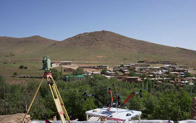
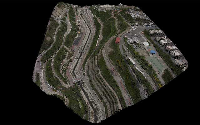
We fly multirotors (drones) such as quadrotors or octarotors and take aerial photos which are later processed to obtain an Orthophoto, DEM or a 3D model of the aria. Aerial Orthophotos are great tools for Archaeological Management, Cultural Heritage Management and Crisis management.
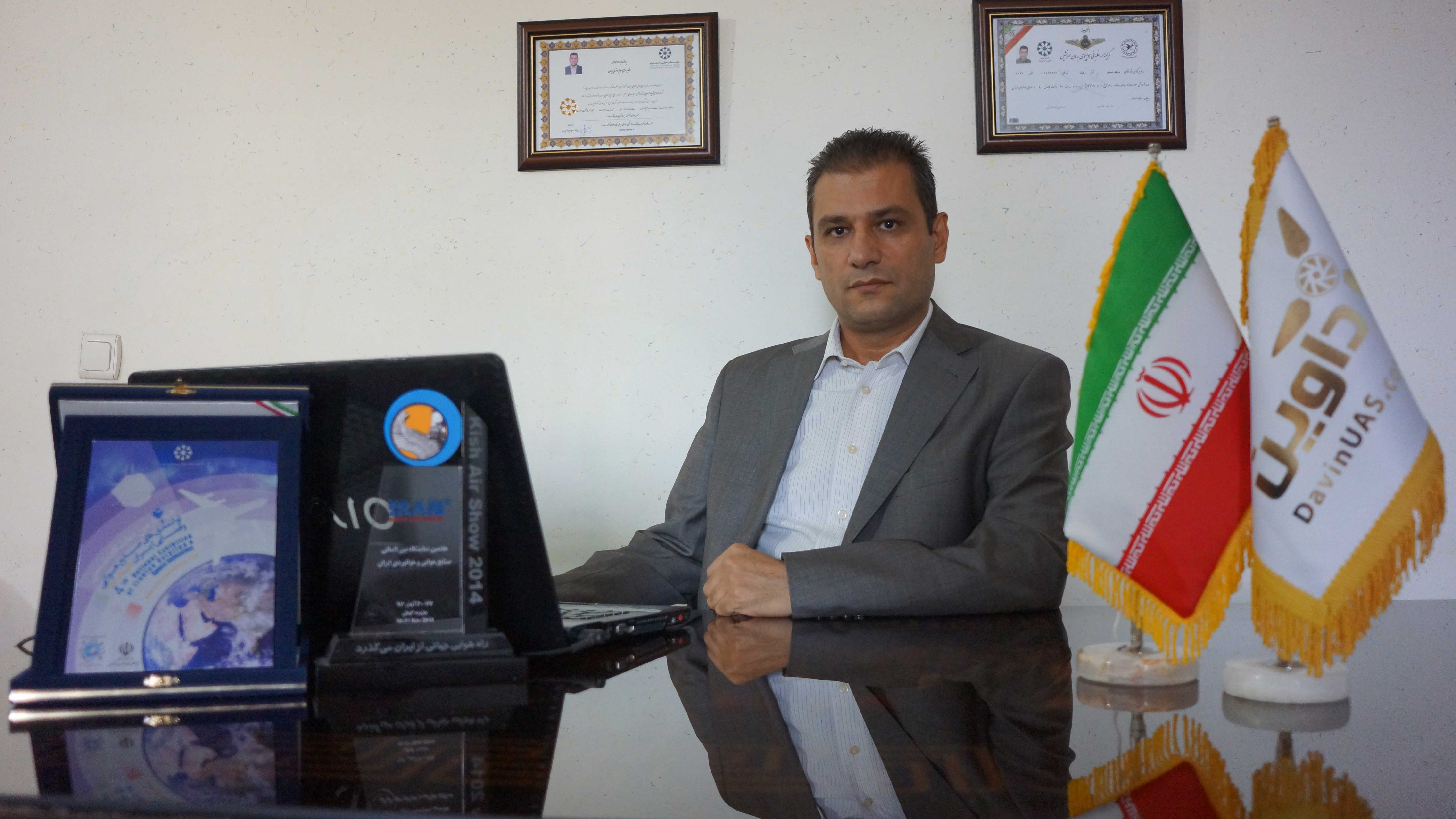 Featured interviewInterview with Mr. Said AsadiDavin UAS, industrial applications and the future of commercial drones.Read the interview →
UAV Mapping Process
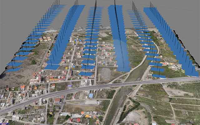
First of all we analyse the aria in which we want to produce a map for it. Based on the Geographical characteristics of the aria and the scale of the required map, we define the flight plan. The flight plan includes all parameters like: Altitude of flight, Speed, Photo overlaps, Camera and Lens specifications and at last the flight route. All parameters will be uploaded to the auto pilot and the drone will start the route totally autonomously by clicking of a button on the Ground Station.
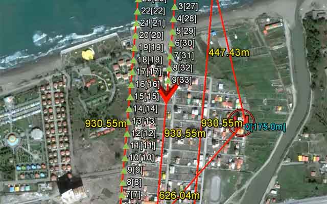
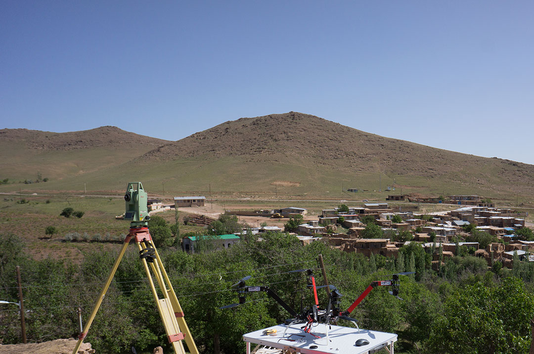
In order to make a precise aerial map we use Ground Control Points (GCP). All GCPs are spread over the aria. The number and the shape of the GCPs are chosen based on the characteristics of the aria and also the type and the scale of the map needed.
Explore our services and work
 Page
PageProjects
.Davin Co. LTD is the leading company in Iran in Aerial Mapping and Aerial Surveying using UAV UAS drones
View detailsAerial Mapping Crisis Management
Davin company uses drones for aerial mapping of cities, villages and any other important place very fast and with a very low prices
View details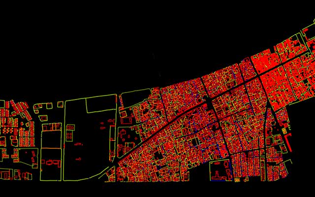 Page
PageAerial Survey of Konarak City
Aerlia Survey of Konarak city performed bu UAV to produce the cadastral map of the city.
View detailsَAbout us
Davin Company is active in the field of UAV Mapping and Aerial Photography. The company is located in Iran but we can accept mapping missions in any…
View detailsPage Page
Page